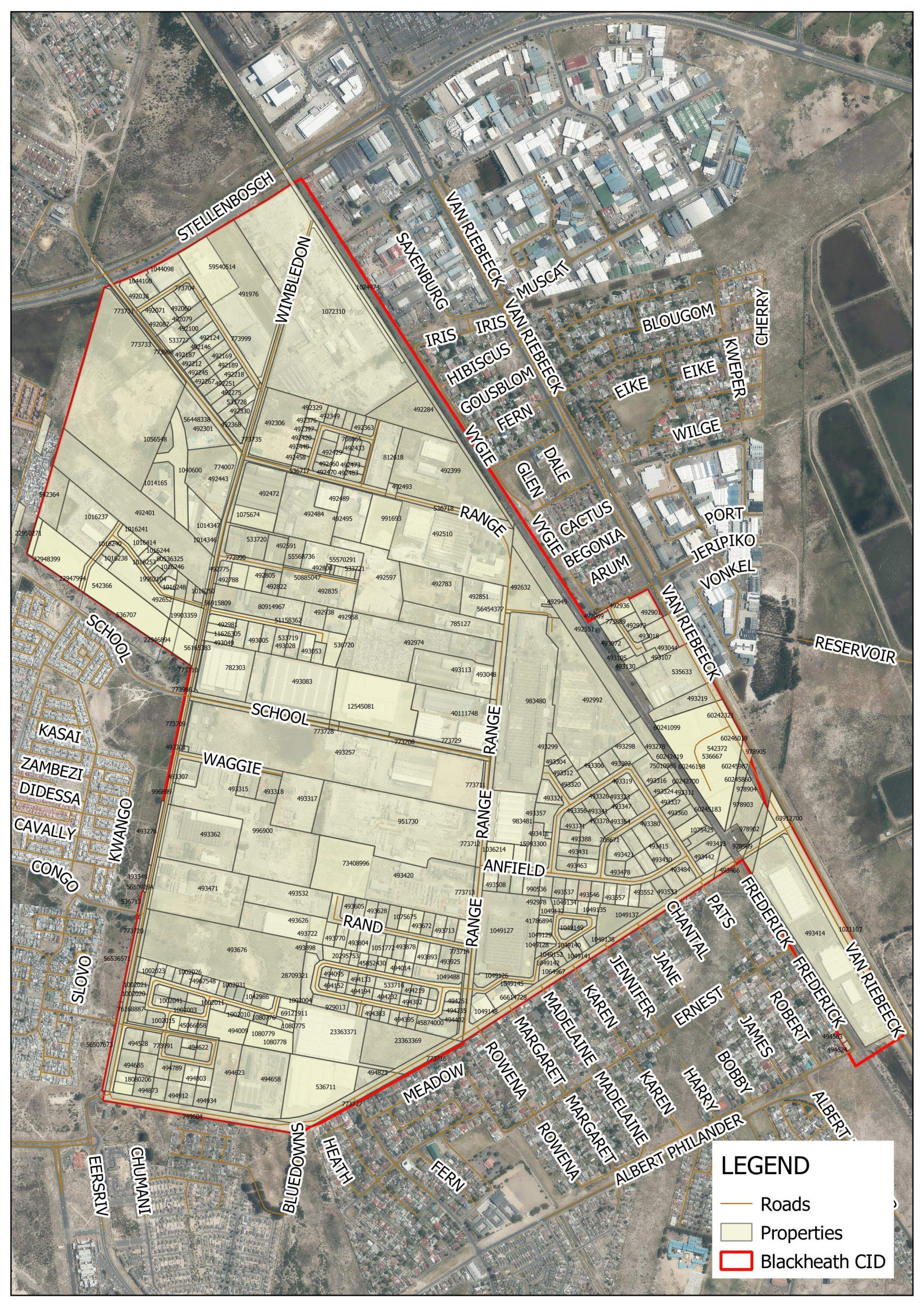
The Blackheath City Improvement District Boundary Map indicated the specific area covered by the improvement district in Blackheath.
This map plays a crucial role in urban planning and community development. It outlines the boundaries within which the improvement district operates, encompassing streets, landmarks and neighbourhoods. The tool aids in the allocation of resources, management of public spaces, and implementation of various improvement projects. It’s an essential visual aid for local authorities, businesses, and residents to understand the scope and impact of the improvement initiatives within the designated district.